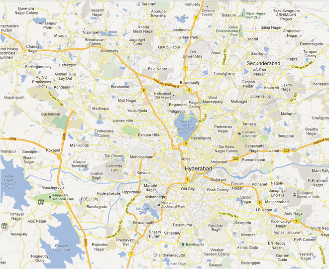
A good map of Hyderabad is very useful as the city is undergoing constant changes and new areas, buildings, roads are getting developed as population is increasing. A recent map giving updated information is needed by both long term residents and those new to Hyderabad.
Below is a map of Hyderabad providing an overview of Hyderabad. We also have here detailed maps of Central Hyderabad, Central Secunderabad, Hyderabad Old City, Cyberabad plus many suburb maps – Kukatpally, Dilsukhnagar, Uppal, Mehdipatnam, etc
Hyderabad Map – Overview of the Greater Hyderabad Area
Hyderabad Map – Overview of the Urban Area
For your convenience below are the commonly sought after maps of Hyderabad – Central Hyderabad, Secunderabad central map. Plus, old city map and Cyberabad map.
Central Hyderabad Map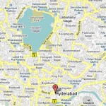 |
Secunderabad Central Map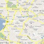 |
Hyderabad-Old City Map |
Cyberabad Map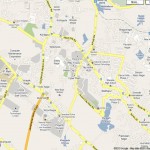 |
Hyderabad Sub-Urban Areas – Overview Maps
| Kukatpally – Suburb Map | Uppal – Suburb Map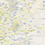 |
Mehdipatnam – Suburb Map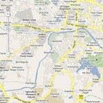 |
Dilsukhnagar – Suburb Map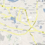 |
Hyderabad city maps are not only useful for the tourists; but they are also useful for students, and for every person who wants to get some information about Hyderabad city. There are several options for you to use Hyderabad maps. You can use printed maps from private publishers, atlases and some books. You can also get Hyderabad maps in tourist guides. Survey of India also provides several types of maps.
If you are a regular web user, you can find several online map websites that offer good Hyderabad maps.
Related Articles:
Why use an online Hyderabad city map?
Instructions to use Google maps for viewing Hyderabad City
Survey of India Maps Give Extensive Information on Hyderabad


